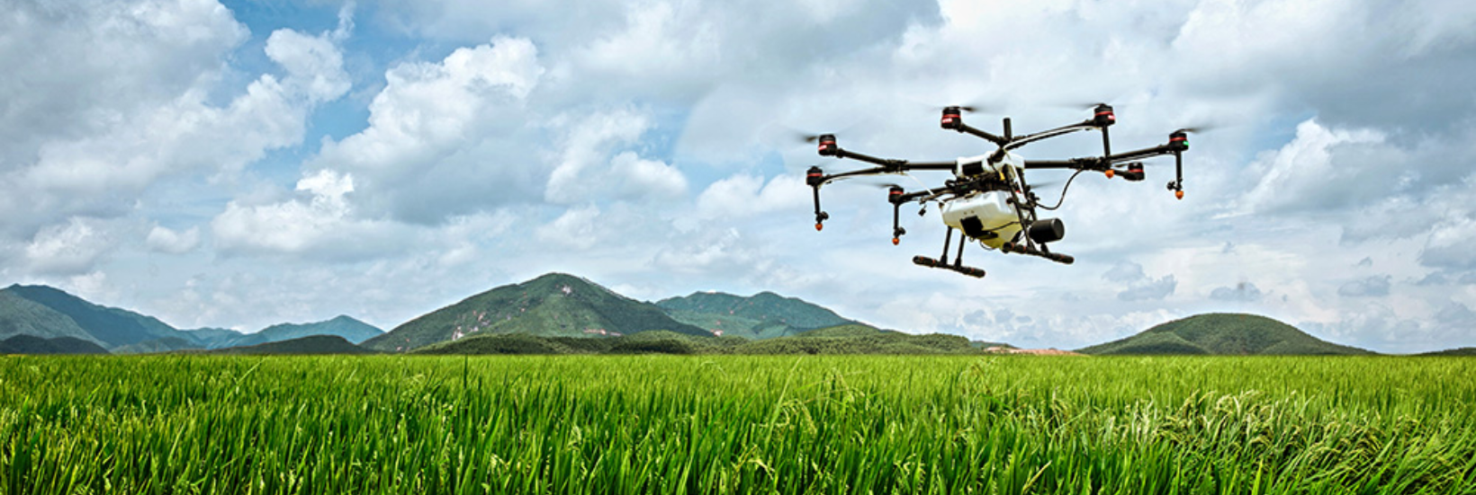
Drone Services (Agriculture, Surveillance, Disaster Management)
Our drone technology solutions provide accurate and real-time data to enhance decision-making across industries:
- Agriculture: Precision farming, crop monitoring, and irrigation management using aerial imagery.
- Surveillance: High-resolution aerial surveillance for security, property monitoring, and crowd management.
- Disaster Management: Aerial assessments in disaster-hit areas to guide relief efforts and identify hazards.
- Infrastructure Inspection: Drones used for inspecting power lines, bridges, and other hard-to-reach infrastructure.
- Land Mapping & Surveying: Accurate topographical maps for urban planning, construction, and resource management.
- Our Services
- Advanced Defence Services
- AI & Cloud – Data Migration
- CCTV
- Cybersecurity & Forensics
- Data Center - End-to-End (E2E) Solutions
- Drone Services (Agriculture, Surveillance, Disaster Management)
- Electrical & Civil Architects
- ERP & Data Migration
- IT & Software Solutions
- MEDICAL DRUG & EQUIPMENTS SUPPLY
- Mining
- Professional & Consultancy Services
- Project & Service Integrator
- Skilled Manpower
- Solar Panels & Solutions